
Bella Vista ZIP Coverage
The Bella Vista ZIP code directory begins with two principal codes, 72714 and 72715. The first generally serves eastern, northern, and central street delivery. The second generally serves western and southwestern Bella Vista, including planned-community subdivisions. Nearby 72712 is a Bentonville postal area at the south edge. An address associated in conversation with Bella Vista may still use Bentonville for mail, so the exact street must be checked before a record is relabeled.
| ZIP | General Coverage | Post Office or Check | Directory Note |
|---|---|---|---|
| 72714 | Eastern, northern, and central Bella Vista | Bella Vista, 555 Memorial Drive | Principal code; postal name does not prove city limits |
| 72715 | Western and southwestern Bella Vista subdivisions | The Highlands, 1750 Forest Hills Boulevard | Principal code after the 2008 realignment |
| 72712 | Bentonville postal area near Bella Vista’s south edge | Bentonville or USPS verification | Check municipal and parcel boundaries before labeling |
The county’s May 30, 2026 ZIP map depicts Bella Vista mainly across 72714 in the east and center and 72715 in the west, but the map carries a GIS accuracy disclaimer. There is no verified official source for a Bella Vista PO-box-only code. The ZIP code directory therefore treats 72714 and 72715 as the two main postal zones and 72712 as a nearby boundary caution, not as a third core Bella Vista code.
Bella Vista ZIP Shift
USPS realigned 2,404 Bella Vista deliveries from 72714 to 72715 on July 1, 2008. That dated change explains a common conflict in resident and property research. A record created before the realignment may show 72714 even when the current delivery address uses 72715. The older entry is not automatically wrong. It may simply preserve the postal geography in force when the record was made.
This is one reason the Bella Vista ZIP code directory should be used with dates. Preserve the old spelling and code in research notes, then add the current form as a separate field. Search both versions where a database may not normalize them. A deed’s legal description and the assessor’s parcel number are more durable than a postal code and can bridge the change without guessing that two address forms refer to different land.
Old-record tip. When a Bella Vista address shifts between 72714 and 72715, compare the parcel number and legal description before rejecting the match.
Verify Bella Vista ZIP Addresses
The official USPS ZIP Code Lookup is the right source for one deliverable address. It can validate the street form, postal city, ZIP, and ZIP+4 used for mail. It does not identify a resident. Nor does it decide whether the parcel lies within the incorporated city. Those questions belong to the assessor and county GIS.
| Lookup input | How to use it |
|---|---|
| Street address | Enter the number and street as completely as known |
| City and state | Test the expected postal city in Arkansas |
| ZIP when known | Use it as a check, not as proof of city jurisdiction |
| Returned result | Save the standardized address, five-digit code, and ZIP+4 |
The USPS interface is shown below as the postal starting point for the Bella Vista ZIP code directory.
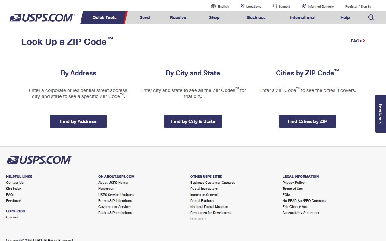
The result confirms delivery formatting for a specific address. Follow it with the county parcel map whenever the search needs a city line, tax parcel, subdivision, or owner field.
Search Bella Vista by ZIP
Finding residents by ZIP code is a narrowing process, not one unrestricted roll. The Benton County Assessor property search may expose city or ZIP filters alongside owner, parcel, and property-address criteria. Any returned ZIP must be checked to learn whether it belongs to the situs field, meaning the parcel’s location, or the mailing field used for the owner’s tax correspondence. The two fields answer different questions.
- Verify the known street address through USPS and save the standardized postal form.
- Search the Benton County Assessor gateway by property address, then record the parcel number, situs address, legal description, and owner mailing field separately.
- Open Benton County GIS to compare the parcel with the mapped city and available district or ZIP context.
- Use a name-based official tool only for its stated purpose. Do not treat a postal filter as proof that a person occupies the parcel.
Once the area narrows to a known road, the Bella Vista street directory handles address and parcel work at street level. Keeping the ZIP stage broad avoids rebuilding a full ownership chain for every parcel in a postal zone.
Bella Vista ZIP Voter Geography
VoterView verifies one person. It requires first name, last name, date of birth, and county, commonly with Benton selected for a Bella Vista resident. It cannot browse every registration in 72714 or 72715. A match may show registration status, precinct, polling place, and district information, but it does not reveal a ballot choice. Arkansas does not register voters by political party.
The Secretary of State has a separate written process for statewide voter-file products. Its instructions describe registration, federal-election participation-history, and combined files, with protected fields withheld under law. Participation history records whether a voter took part, never how a ballot was marked. A requester must select the product, geography, and delivery details. The file’s residential or mailing field must still be interpreted in its own context.
The official Arkansas voter information page shown below routes individual users to the correct verification service.
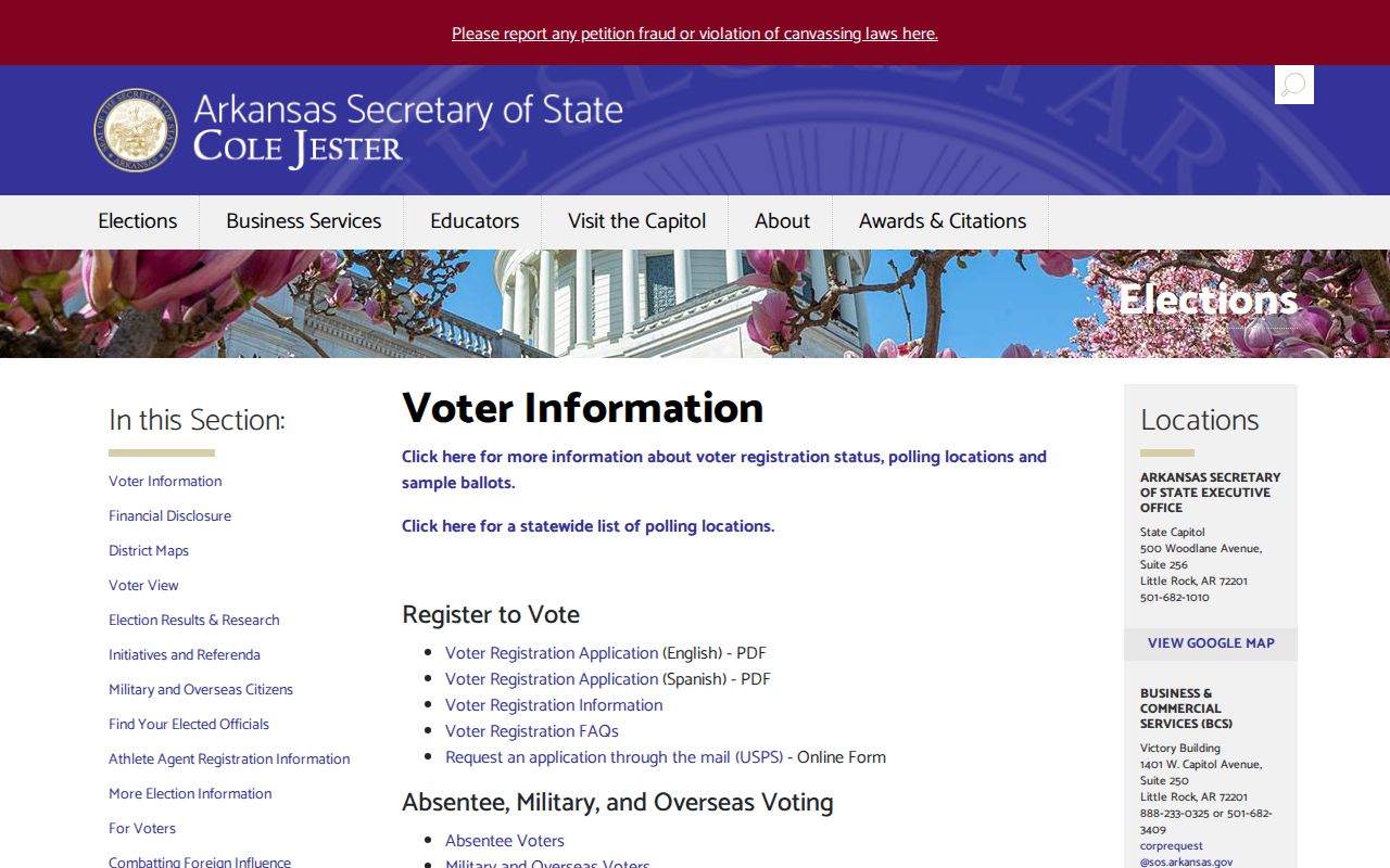
This voter gateway adds election geography after identity is known. It does not turn the Bella Vista ZIP code directory into a block or household list.
Bella Vista ZIP Field Differences
Three address fields can point in three directions. The situs address locates the taxable parcel. The mailing address tells where the assessor sends correspondence. The deed’s legal description identifies the land by subdivision, lot and block, or another formal description. A Bella Vista parcel can have a local situs while its owner’s mail goes to another ZIP. That fact may suggest an out-of-area owner, but it does not prove who uses the parcel.
Assessor records also show current ownership, transfer references, land and building data, valuation, assessment history, and homestead status. A homestead flag can support an owner-occupancy inference, yet it does not list the full household. This field discipline is vital when searching a whole ZIP because a query against mailing ZIP would group correspondence destinations, while a query against situs ZIP would group parcel locations.
Note: Label every exported or copied ZIP field as situs, mailing, deed, or USPS result so unlike address facts do not merge.
Bella Vista ZIP Versus City
ZIP codes route mail. They are not municipal boundaries. A preferred “Bella Vista, AR” postal name can reach a place outside the incorporated polygon, while a site near the city can carry Bentonville as its postal city. The county parcel, the municipal-limit layer, and the USPS result answer different questions. A reliable Bella Vista ZIP code directory keeps all three answers instead of forcing them into one label.
Bella Vista’s curving planned-community roads and named subdivisions make this distinction even more useful. Successive house numbers do not always represent a simple rectangular block. GIS adjacency, lot lines, and parcel IDs provide better spatial evidence than ZIP alone. The county map can locate land within a municipal or district context, but its labels are not a title record and should be opened against the assessor card.
- ZIP and ZIP+4
- The five-digit code names a delivery area. The extra four digits narrow a delivery segment or destination.
- PO-box ZIP
- A code assigned mainly or solely to post-office boxes. No official Bella Vista-only example was verified.
- Unique ZIP
- A code assigned to one high-volume organization rather than a normal neighborhood.
- Carrier route
- A postal delivery path within a ZIP, not a city district or parcel boundary.
Bella Vista Address Change Chain
Benton County 9-1-1 Administration gives Bella Vista an unusually broad reconciliation trail. Address assignment considers driveway location and the number of structures. Covered structures include homes, apartments, barns, commercial buildings, mobile homes, pole sheds, poultry houses, and storage buildings. When an address is assigned, the office notifies the owner, post office, and emergency providers.
An address change goes farther. The county sends notice to the assessor, county clerk, electric company, owner, post office, telephone company, and responders. For Bella Vista, the chain additionally names the Mayor’s office, Bella Vista ACC, Property Owners Association, Bella Vista Post Office, and Water Department. That list explains why one parcel can appear under more than one institutional address form while records are being updated.
The county process also explains why postal data should not be the only key used in a local search. One office may update its display before another, and an older permit, plat, or tax entry can retain the prior form. Save the record date and the agency that supplied each address. If a search returns nothing, try the standardized USPS form, the earlier ZIP form, a shortened street suffix, and the parcel number. Each attempt tests a known local source difference rather than inventing a new address.
The parcel number and legal description provide continuity across those forms. When a pre-2008 ZIP, a normalized street suffix, or an agency-specific label conflicts with the current USPS output, compare those durable identifiers first. That practice turns the ZIP code directory from a loose postal list into a precise way to reconcile local records.