
Bella Vista Neighbor Record Sources
Official sources describe different layers of a Bella Vista block. Benton County GIS establishes which parcels are actually near the subject property. Assessor cards identify the recorded owner and tax mailing destination for each selected lot. Plats show the formal subdivision, lot, block, and easement pattern. Permit records add dated project information. Voter products and community publications have narrower rules and cannot fill every household gap.
| Source | What It Reveals Around a Block | Access Channel |
|---|---|---|
| Benton GIS | Adjacent parcels, road shape, aerial and district context | Free interactive map |
| Assessor cards | Owners, situs and mailing fields for selected parcels | Free web search and assessor desk |
| Recorded plat | Subdivision, lot, block, and easement layout | Recorder index, images, or counter |
| Bella Vista permits | Address, applicant, work, inspection, and status | iWorQ and permit office |
| Voter records | Registration geography for people in the permitted product | VoterView or SOS data request |
| POA publications | Voluntary services, clubs, churches, and contacts | Published or member channels |
Ownership is not the same as occupancy. A mailing addressee is not a full household. A permit applicant may be a contractor. A voter file omits nonvoters and protected entries. Those limits are especially important when identifying Bella Vista neighbors, because no ordinary public record supplies every renter, child, family member, or unlisted resident around an address.
Map Bella Vista Neighbor Parcels
The adjacent-parcel method starts with one known point and works outward. Do not assume the next house number is the next lot. Bella Vista’s planned-community streets bend, branch, and cross subdivisions in ways that break a simple number sequence. A parcel polygon, meaning the mapped outline of one tax parcel, supplies a much safer definition of “neighbor.”
- Locate the subject address in Benton County GIS and click the parcel rather than relying on a map label.
- Record its parcel number and boundary. Pan until the lots on both sides and across the road are visible.
- Click each adjacent polygon. Save each parcel number, then open the matching official assessor detail.
- Compare situs, owner mailing address, legal description, and homestead status without turning any one field into an occupancy claim.
- Use the Bella Vista street directory only when the task expands from the immediate block to a whole named road.
The county’s documented advanced path is Search, select the target, choose Spatial, enter a buffer distance, apply the buffer, select Parcels, and use Intersect By or Contained By. Intersect By finds parcels touching the buffer. Contained By finds parcels held wholly inside it. A county example uses 300 feet. Identify Features with a point is simpler for one adjacent lot.
Compare Bella Vista Owner Fields
Once the map supplies the parcel set, the assessor supplies the ownership fields. The situs address is the parcel’s physical location. The owner mailing address is where tax correspondence goes. A mismatch may suggest that the owner receives mail elsewhere, but it cannot name the person using the property. The legal description, parcel number, and deed-transfer reference are the better links to the land record.
This contrast is the most useful check in a Bella Vista neighbor search. A commercial compilation may blend names from deeds, marketing data, and old household associations. Official records keep the reason for each name visible. That makes their scope narrower, but also makes each fact easier to test.
| Source type | Strength | Limit |
|---|---|---|
| Official parcel and deed records | Custodian, date, parcel, and legal context are clear | Ownership does not list every occupant |
| Official voter product | Defined registration and election fields | Nonvoters and protected people are absent |
| Commercial neighbor compilation | May offer a broad lead | Can be stale, merged, or unclear about its source |
Note: A homestead flag can support an owner-occupancy inference, but it still does not identify every person in a Bella Vista home.
Bella Vista Plats and Permits
A plat is the recorded drawing that divides land into a subdivision, lots, blocks, streets, and easements. For Bella Vista neighbors, it can show why two homes that appear close on a road are separated by a greenway, common tract, or irregular boundary. Benton County’s Recorder provides plat indexes and online images for newer material, with older books and the counter as the fallback. A plat defines land geometry, not current residence.
Bella Vista iWorQ searches approved permits by permit number, type, property address, or applicant. Results may show status, inspections, and paid fees. This is dated address evidence. Yet the applicant can be a builder or contractor rather than the owner or occupant. Permit staff can also help when the portal fails, and a focused city-record request can seek an existing permit or enforcement record subject to exemptions.
The Bella Vista public-record request portal shown below is the documented fallback for a narrow municipal request.
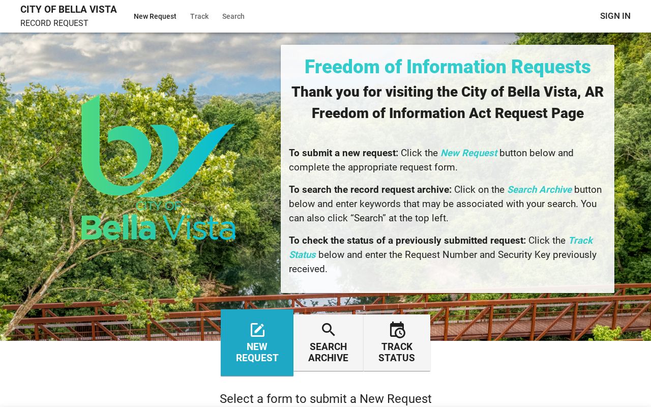
A useful request identifies the address, record series, and date range. Arkansas FOIA concerns existing records, not a request that staff create a new neighbor report.
Bella Vista Neighbor Voter Limits
VoterView cannot browse a block. It requires a first name, last name, date of birth, and county to verify one person. A match can return registration status, precinct, polling place, and district data. It does not reveal ballot choices, and Arkansas does not register voters by political party. Using VoterView to guess nearby households is both technically unsound and incomplete.
The Secretary of State’s written voter-data process offers defined files, including registration and federal-election participation-history products. Participation means that a person voted, never how. A lawfully obtained file may support address grouping, but protected fields are withheld, and nonregistered people remain invisible. Data format and field definitions must be preserved when a result is grouped around a Bella Vista block.
Block limit. Voter data can describe registered-voter geography under its rules, but it can never stand for every Bella Vista neighbor.
Bella Vista Community Directory Layer
The Bella Vista Property Owners Association is the strongest community layer because its amenities, architecture control, water, and recreation roles predate city incorporation. POA publications identify services, facilities, clubs, and church contacts. Membership records remain private organizational data unless the association voluntarily publishes them. A POA reference can confirm community structure, but it should not be presented as a public roster of Bella Vista neighbors.
Bella Vista POA
Community services, amenities, clubs, and voluntary publications. Use published contacts or member channels.
Historical Society
Local photographs, books, resort and village context, and volunteer knowledge. No public resident name index is promised.
Civil War Round Table
A museum-based route to military and local-history expertise, not a directory of current households.
Vote-center congregations
Community, Methodist, and Catholic sites document civic geography, not church membership.
The 2025 Bella Vista special election used Bella Vista Community Church, Highlands Global Methodist Church, and St. Bernard’s Catholic Church as vote centers. This confirms their role in local civic geography. It does not publish members. Civic clubs and congregations should be contacted through their voluntary public channels without asking them to disclose private lists.
The Bella Vista Historical Museum adds a different kind of block context. Its resort and village photographs, books, maps, and volunteer knowledge may help explain an older subdivision name or a community landmark. Bentonville Public Library holds the Northwest Arkansas Genealogical Society collection, while Rogers Historical Museum keeps city directories, maps, obituary material, newspapers, oral histories, and vertical files. These sources can describe how a place changed. They should not be used to turn a historical mention into a claim about a current household.
Bella Vista Neighbor Registry
Public-safety tools answer distinct, time-sensitive questions. The Benton County Sheriff publishes current services, custody information, warrants, and records links. The Arkansas Department of Corrections search concerns state correctional records. The Arkansas Crime Information Center registry has its own name and geographic modes. None should be used as a substitute for parcel ownership or present occupancy.
The official Arkansas offender registry interface is shown below. Its public-safety purpose comes with a firm anti-harassment boundary.
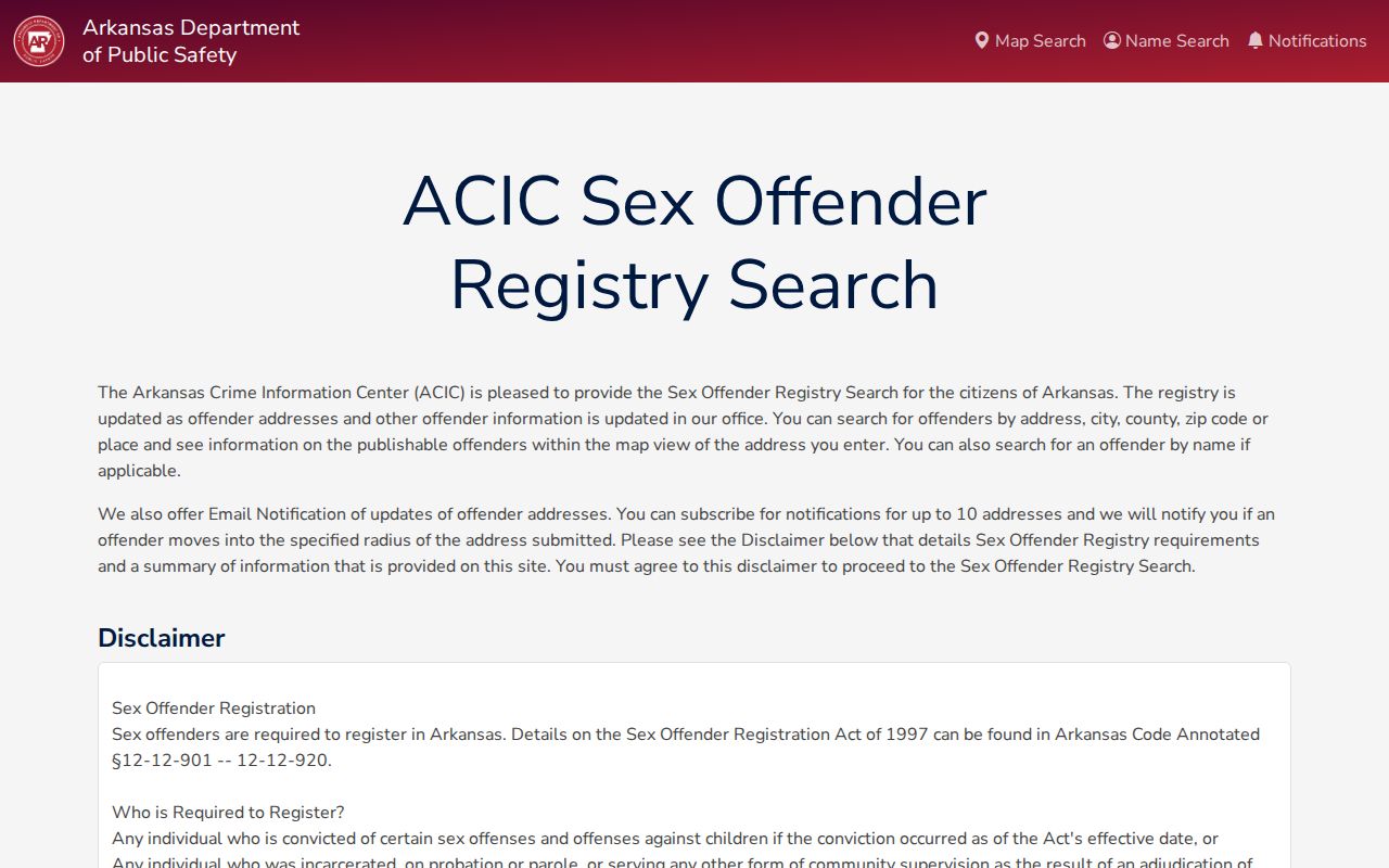
Benton County’s separate offender GIS was marked unavailable for maintenance during the research review. The state registry and Sheriff are the fallback; a broken county interface does not mean no record exists.
Bella Vista Neighbor Custody Search
The Arkansas inmate search below covers the state correctional population rather than every arrest or court case.
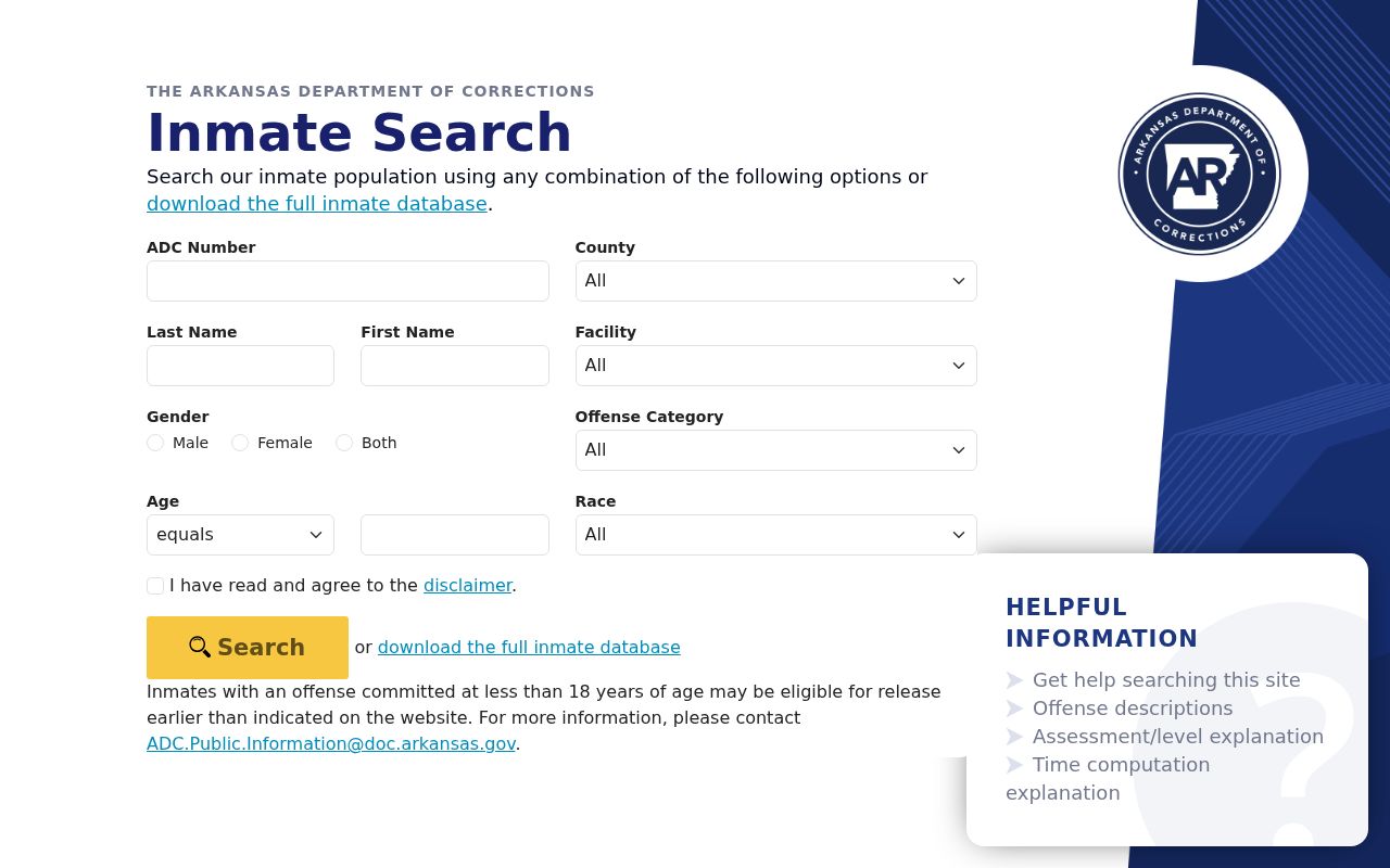
A result may include sentence, facility, and release fields where public. A no result says nothing about local custody, sealed matters, another jurisdiction, or a person with the same name.
Bella Vista Neighbor Sheriff Records
For county information, the Benton County Sheriff site shown below links current jail, warrants, most-wanted, report, and records services.
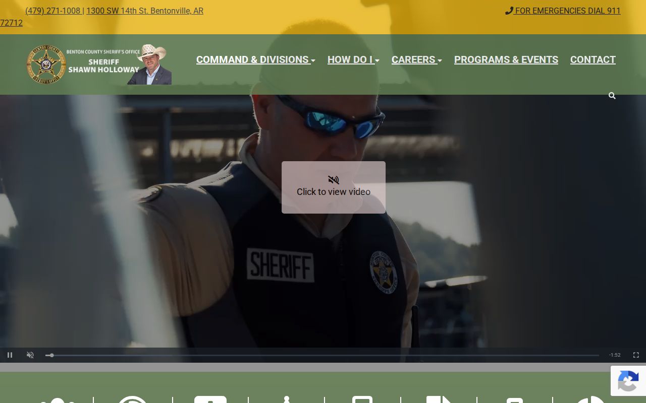
Current custody can change at once and is not conviction proof. Verify any critical status directly with the agency that holds the record.
Protect Bella Vista Neighbor Privacy
Some people around a block will remain invisible by design or by the limits of each source. Renters, minors, nonvoters, unlisted households, and people whose names do not appear on title may not show in ordinary records. The Arkansas Address Confidentiality Program protects qualifying victims with substitute-address handling. No neighbor search should attempt to defeat it.
Utility customer information, delivery data, motor-vehicle personal records, and private membership lists are not ordinary public resident directories. Public access also does not grant permission to monitor or contact someone repeatedly. When a copied record appears wrong, give the official custodian its parcel, case, permit, or document identifier so the source can be checked.
Lawful use. Use Bella Vista neighbor records for legitimate civic, property, family, or personal-safety research. Never use them to watch, intimidate, threaten, harass, or harm a person.