
Bella Vista Previous Resident Sources
Every period calls for a different source. The current assessor card supplies the durable parcel keys. Recorded deeds establish transfers between named parties. Cross-reference directories can identify a listed resident by address, while census schedules name whole households when the schedule is public. Bella Vista permits date work at a property, but an applicant may be an owner, contractor, or other filer. None of these records alone proves a complete resident list.
| Source | Verified coverage | Where held | What it contributes |
|---|---|---|---|
| Assessor parcel card | Current record and transfer history | Benton County Assessor | Owner, situs, mailing address, parcel, legal description, deed reference |
| Online deed index and images | Vendor says index from 1945 and images from 1933; county summary conflicts | Benton County Recorder service | Buyer, seller, date, instrument, and legal description |
| Historical deed film and indexes | Deed film and plats, 1837-2015 | Benton County Historical Society | Pre-portal ownership chain |
| Regional directories | 1979, 1988-1989, 1996, 1998, and 2000 items verified | Shiloh Museum inventory | Listed subscriber or resident tied to a date |
| Federal census | Through 1950 public | NARA and library databases | Household and nearby enumerated residents |
| City permits | Portal available; historical start not verified | Bella Vista iWorQ | Address, applicant, work, status, inspections, and fees |
Start with the source closest to the date being tested. A recent trail usually begins online. Before dependable web coverage, the Recorder counter and historical collections become essential. A pre-1965 Bella Vista search may rely more on plats, deeds, census, tax, resort, and newspaper material than on street-address directories.
Start Bella Vista Resident Records
The assessor card is the bridge from a modern street address to an older record trail. Search the official Benton County Assessor real-estate gateway by property address. Copy the parcel number, legal description, current owner, owner mailing address, situs address, and newest deed-transfer reference. “Situs” means the physical location of the parcel. The mailing address is where the tax notice goes.
A mismatch between those two addresses can suggest that an owner receives mail elsewhere, but it does not show who occupies the property. Likewise, a homestead field can support owner occupancy without naming everyone in the household. Previous residents research works best when such fields are labeled exactly and tied to the date viewed.
Process flow. Street address → parcel number → legal description → current deed reference → seller → earlier purchase deed.
Note: Save the legal description before leaving the parcel card because it can survive changes in street spelling, numbering, and postal form.
Backtrack Previous Residents in Deeds
The Benton County Circuit Clerk is the ex-officio Recorder. Its land index is the official route from one transfer to the next. The vendor reports deed indexing from May 3, 1945 and deed images from January 31, 1933, while an older county overview describes dependable deed and mortgage web coverage only to 1990. Preserve that conflict. When a complete earlier chain matters, confirm the cutoff with the Recorder rather than treating either statement as absolute.
- Open the current purchase deed by its deed reference, book and page, or instrument number. Copy the grantee, grantor, record date, and legal description.
- Search the seller, who is the grantor in that sale, as a grantee in an earlier date range. This seeks the deed by which that person acquired the same land.
- Match the legal description. A name match without the same parcel, lot and block, or metes-and-bounds description is not enough.
- Repeat the seller-as-earlier-buyer step until the online index becomes incomplete. Keep a dated deed log.
- Move to counter grantor and grantee books, deed film, original plats, or historical indexes for the older span.
- Grantor
- The party transferring an interest in the deed.
- Grantee
- The party receiving the interest.
- Chain of title
- The linked sequence of transfers affecting the same land.
- Legal description
- The lot, block, subdivision, or surveyed wording that identifies land more reliably than a street label.
Documents recorded before October 30, 2017 are retrieved by book and page under the vendor instructions. Later instruments use a number beginning with “L.” The index has no index fee, while images cost $0.25 per page through pay-as-you-go access. The Recorder supplies certified copies.
The successful land-record vendor capture shows the gateway used for that deed work:
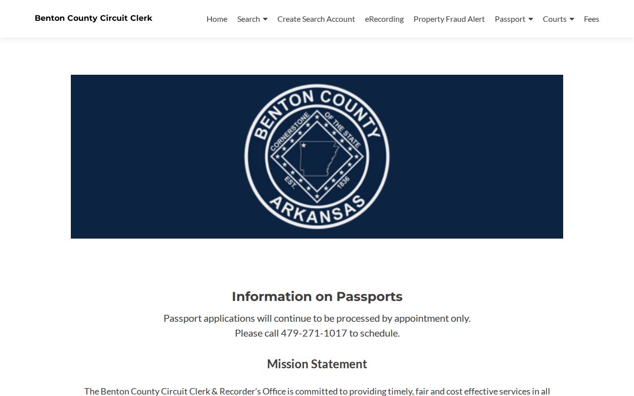
The login wall makes the Recorder counter and analog indexes especially important when online searching cannot establish a complete chain.
Bella Vista Record Cutoff Puzzle
Benton County records did not move online on one date. The vendor reports deed images to 1933 and a deed index to 1945, mortgage records to 1970, judgment indexing to 1992, plat indexing to 1996, and later starts for liens and lis pendens. The county's older summary uses different dates for some series. This range is a useful warning: an online “no result” can reflect coverage, indexing, or document type rather than the absence of a transaction.
The Benton County Historical Society is the strongest analog fallback described in the research. Its March 2026 inventory includes deed film and original plats for 1837-2015, tax and assessor material for 1837-1899, and direct or indirect deed-index books spanning 1896-1919. Public research hours are Tuesday through Friday, 10 a.m. to 3 p.m., at 306 NW 2nd Street in Bentonville.
That survival also corrects a local myth. An 1841 courthouse burned during the Civil War in 1862, but surviving deed Books A and B and holdings beginning in 1837 show there was no total destruction of the land trail. The present courthouse dates to 1928.
Match Bella Vista Past Households
Deeds identify land parties, not every person who lived at the address. Add household sources after the ownership chain is stable. The 1996 Northwest Arkansas Polk Cross-Reference Directory is the strongest verified address-to-listed-resident item. A 1998 Rogers-Bentonville-Bella Vista telephone directory can test a name, and the 2000 regional Polk volume can bracket the later side. The Bella Vista city directory collections are described separately so the backward address trail can stay focused.
- Place each deed transfer on a timeline, with the exact legal description and recording date.
- Insert the 1996 cross-reference listing by address, then compare the 1998 and 2000 name and address entries.
- For 1950 or earlier, search the federal census by household and enumeration geography. Do not force a modern address onto a rural schedule.
- Use probate, obituary, cemetery, or newspaper evidence to explain a person's death, inheritance, move, or disappearance from a listing.
Seasonal residents, second-home owners, renters, unlisted telephone households, and new subdivisions create real gaps. “Not listed” does not mean “not there.” A directory entry is a dated clue, while a census household is a different type of record with its own date and geographic limits.
Preserve Bella Vista Resident Addresses
Bella Vista's curving planned-community roads and named subdivisions make parcel identity more reliable than a guess based on house-number order. Benton County 9-1-1 has an unusually broad notification chain for a Bella Vista address change. It notifies the mayor's office, the Architectural Control Committee, POA, post office, water department, utilities, assessor, and county clerk, along with public-safety agencies.
That chain suggests a focused way to test an address variant. Ask county roads and addressing whether the label changed. Compare parcel number and legal description in assessor and Recorder records. Then ask city permit staff, POA or ACC sources, and the historical museum about older subdivision terms. Preserve both the former and current forms in the research log.
No verified Bella Vista Sanborn fire-insurance map series was found. Do not import a Sanborn date from another Arkansas community. Plats, aerial images, permit records, resort maps, and legal descriptions are the supported substitutes for identifying when a lot, road, or structure changed.
Date Bella Vista Resident Records
The Bella Vista iWorQ Citizen Portal searches approved permits by permit number, permit type, property address, or applicant. Results may show permit status, inspections, and fees paid. Those fields can date a remodel, addition, or new work in the story of a property. They do not prove that an applicant lived there.
| Portal field | Use in address history |
|---|---|
| Permit number | Returns a known project record. |
| Permit type | Narrows the kind of work. |
| Property address | Links approved work to the researched site. |
| Applicant | Names the filer, who may not be an owner or resident. |
| Status and inspections | Provide dated milestones for the work. |
A permit has 180 days for work to begin and then extends 180 days from the latest inspection under the documented city process. Permit staff can be reached at 479-268-4980 or permits@bellavistaar.gov when the online result needs context.
Bella Vista Deed Counter Fallback
The Benton County Recorder's Office is at 215 E. Central Avenue, Room 202, in Bentonville. It is open Monday through Friday from 8 a.m. to 4:30 p.m., including lunch, with recording ending at 4:15. The telephone number is 479-271-1017. Staff allow title research but do not conduct a title search or give legal advice.
The official Recorder page provides the office-side route when the web service stops:
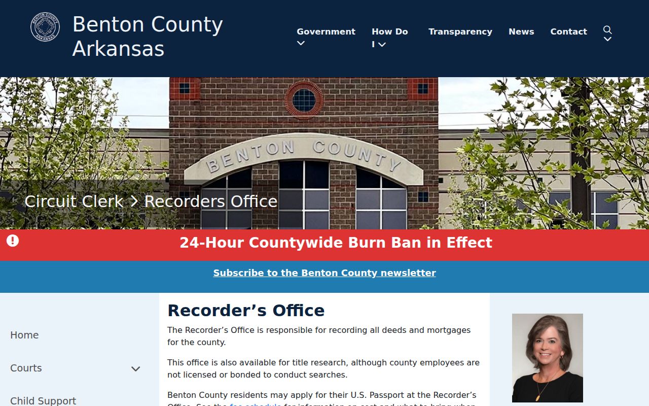
Bring a parcel number, legal description, party names, and an approximate date range. Those details make a counter search much more precise than a request for everything about an address.
Close Bella Vista Resident Trails
When a name drops from the deed or directory timeline, probate and obituaries can explain what happened next. Benton County probate is handled through the County Clerk's Probate Division. Newspaper and obituary files at regional museums and libraries may connect relatives, former addresses, and funeral or cemetery details. Such claims should be checked against the deed, probate file, or a vital-record source when precision matters.
The Bella Vista Historical Museum can add resort and planned-community context through Linebarger estate material, photos, books, guest or staff clues, promotional maps, and subdivision files. An identification supplied by a volunteer or written on a photo is valuable, but it should be recorded as an attribution until another dated source supports it.
Lawful use. Research previous residents for family history, property history, or personal curiosity. Never use a living person's information to track, threaten, or harass them.
Ownership, occupancy, and presence are three separate findings. Label each one. That distinction keeps a Bella Vista previous residents timeline honest when deeds, directories, census records, and permits point to different people.